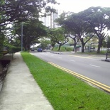
The Ulu Pandan/Sunset Lane Canal jogging route is part of the series I will be sharing as part of my favorite running route in the central and southern Singapore.
Ulu Pandan/Sunset Lane Canal
As ulu as the name may sound (no pun intended) this running route is part of the park connector line of tracks which are planned to be linked all round Singapore. It generally employs the pavements built along side service canals to provide inter-connectivity between regions. The Ulu Pandan route is no exception as a starting point towards the western park connectors.
Route (5.18km external park route)
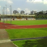
For my runs within the area, I usually use the canal route as part and the highlight of a longer round-about route starting from Singapore Polytechnic’s Sports Stadium (note the running track south of the route), towards Bouna Vista MRT and encircling the route back up from Clementi Road towards New Town Secondary before ending back at the stadium. The total distance being 5.18km per loop as shown below.
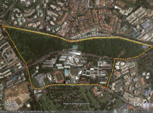
You can jump to the route for planning on Streetdirectory.com here
Terrain
With the exception of the generally flat canal route, the circle route are generally a sloping in most other parts with 2 traffic crossings in total. Exiting and turning left from the SP sports stadium will bring you along Dover Road (towards Fairfield Secondary direction), turning again on the first left from a long downhill towards Dover Avenue will greet you with a 100m long 15-20 degree uphill.
Reaching the top will give you an equidistant downhill to catch you breath before hitting the first traffic crossing at the MRT viaduct tracks. Taking left will bring you for a perimeter loop around Singapore Polytechnic Campus, totaling 3.3km back where you started. Turning right will bring you on the pavement towards Bouna Vista MRT running along Commonwealth Avenue West.
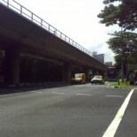
You will be running alongside the MRT viaduct now on a narrow concrete pavement, do take caution as the roads here can be rather mossy and slippery when wet. You will reach the Park connector entrance when you reach the canal bridge near a Singapore Power Supply depot on the left. from here, I will focus on the canal route itself.
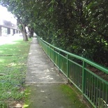
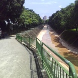
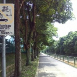
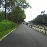
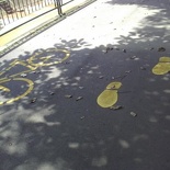
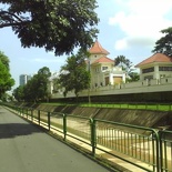
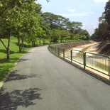
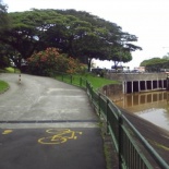
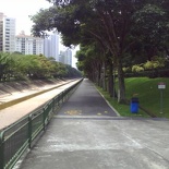
Hitting the tarmac will set you for a flat 2km course running parallel and snakes together with the contours of the Ulu Pandan Canal itself. This general purpose trail is open for both runners as well as cyclists, which won’t pose much of a safety treat given the relatively wide widths and lane debarkation of at regular intervals of the track. Generally here cyclists will keep closer to the canal (railing side) while runners will keep closer to the left (tree and benches side).
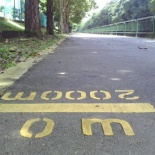
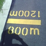
Clearly demarcated along the route are distance markers which are evident in all park connector running routes, allowing you to pace yourself based with the given elapsed distance.
You cannot do a full canal perimeter loop like at the Alexandra connector using the bridges- you are restricted to only running on one side of the canal as roads on the adjacent sides are not continuous and built primary only to serve residents as back entrances to their homes.
Scenery & General Surroundings
The Ulu pandan connector runs through the Holland grove estates which are sheltered by a small patch of secondary forest, not only separating runners from the vehicular buzzes from the nearby Dover Road but provides for the fresh air and the sounds of nature within the route itself. Most part of the canal route is generally well shaded with the exception of few open patches, making running the route in the mid afternoon as still largely bearable feat.
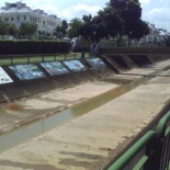
There are quite a few interesting sights to behold throughout the route, namely the canal wall artwork left behind by a previous GRC and arts event.
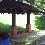
The Canal route too are generously littered with benches spaced throughout the route, not to mention small shelters which can come in handy in the event of sudden rain, but not exactly your definite source of dry shelter in heavy downpours. You will reach Clementi road/Pandan road (near sunset lane) exit at the end of the 2km if you start from Bouna Vista and vice-versa.
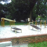
Tucked discreetly at the Clementi road exit is a small sand pit fitness corner which can only be accessed through the side steps. It’s not exactly well kept in the best of condition, but nevertheless a place for those pre/post run stretches and cool down sessions, provided if you don’t mind the barrage of mosquitoes who happen to reside there as well.
The park connector continues across Clementi Road into Clementi Aveunes (along Sunset way) taking you under Ayer Rajah Expressway into West Coast. But for this route, we will be leaving the park connector through Clementi/Pandan road and running along past Clementi Aveune 2 (Clementi Shopping Center) toward the Commonwealth Avenue West cross road junction where we will meet our 2nd and last road crossing for the loop.
Thereafter, it will be another 100m long uphill climb at the SP staff apartments towards Dover Road, where you will pass by an open quadrant field near New Town Secondary (Near Transview Golf course) and catching the Singtel tower landmark in the distance (the route’s end point/start point).
From there it will be a short finishing 500m past the SP graduate’s guild house (SPGG) and final run down before reaching the Singtel Tower building and the T junction leading into SP sports stadium itself (5.18km).
Lowdown
The Ulu Pandan route is not as open, windy and scenic as the Alexandra Park connector and can be rather long, snaking and repetitive to run. It’s a let down that you can only run on one side of the canal and the only way to clock mileage are repetitious end-to-end runs, otherwise you are better off running out your own routes away from the canal area. Otherwise, it’s a nice flat and safe route for both the young and especially the old, (given the large mature estate in the area) for an evening walk or jog in the Sunset.

