
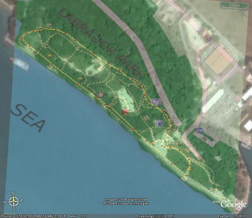
 Labrador Park Map 1.01km Route
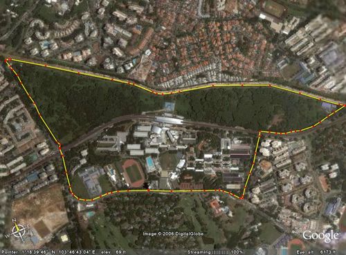 Sunset Way SP 5.18km Route
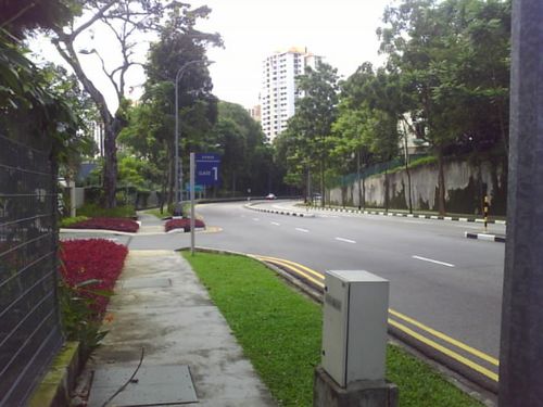 Sp Gate One Entrance
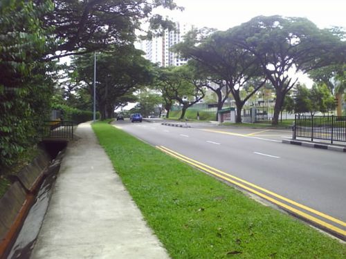 Uphill Climb in the HDB estate
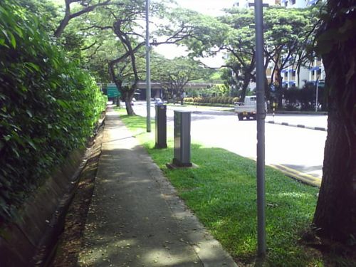 Downhill
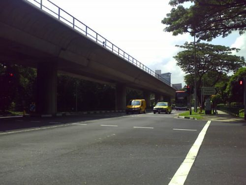 The 1st Road crossing element
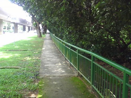 Roadside Pathway
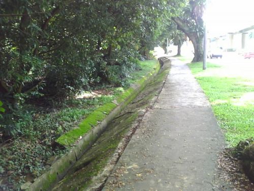 This area can get rather slippery when wet
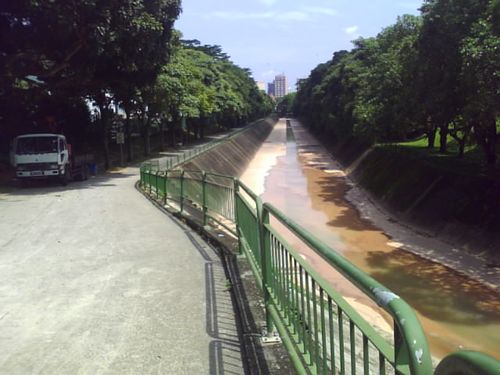 Canal Route Entrance
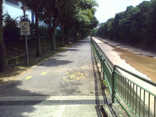 The jogging route runs along the canal side
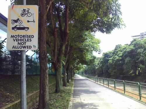 Without a doubt
 And for cleaner shoes as well
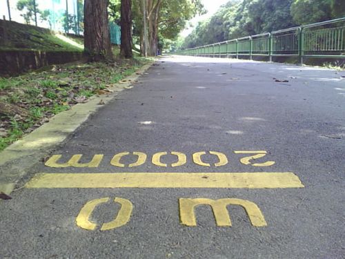 The start of the 2km stretch
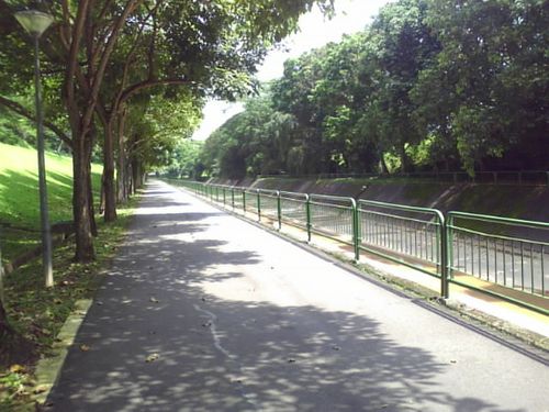 Most of the route are long straights with small bends
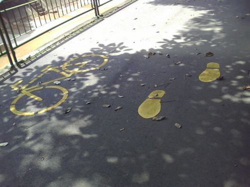 Dual use pathway
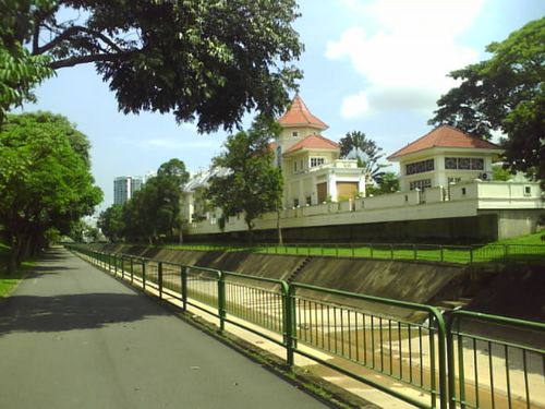 You can enjoy the view of houses along the route
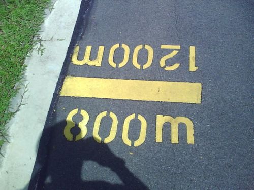 The readign facing you is your covered distance
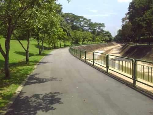 The place can get sunning in afternoons
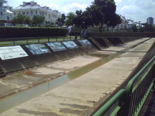 Neat artwork on the canal walls
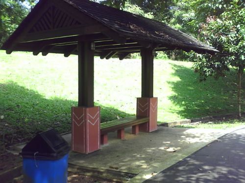 The route has many benches and huts like these for rest or rain shelter
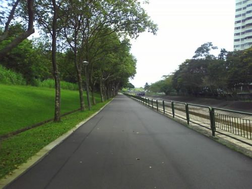 The straight towards/from sunset way
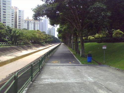 View from the other end of the 2km route from sunset way
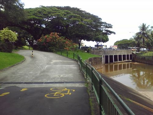 Both ends starts/ends with a concrete incline
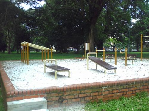 Nearby fitness corner
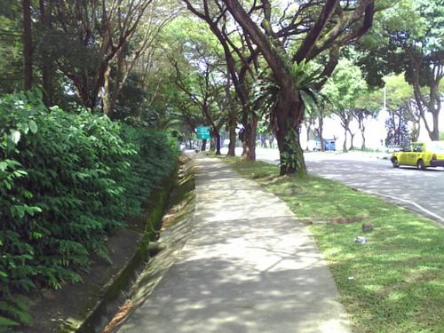 SPUphill along SP staff apartments area
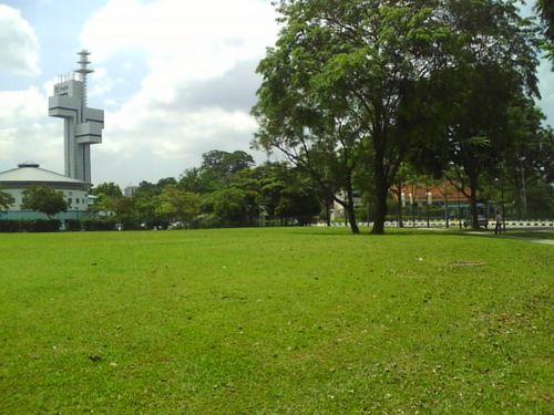 Open field near Newtown Sec
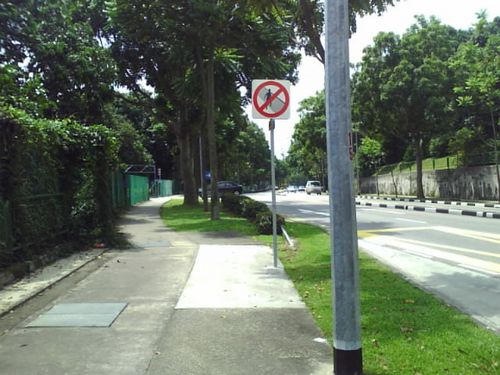 Road along SP grads Guild
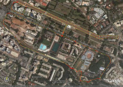 Tanglin - Alexandra Park Connector 5.67km Route
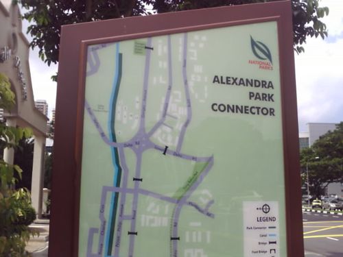 Park Connector Map
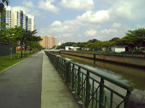 One side of the Canal Route, towards tanglin
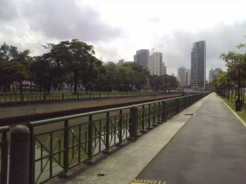 This way is towards prince charles - rivervalley road
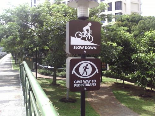 It's a dual purpose jogging and cycle track alike
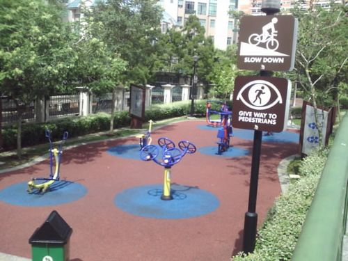 Mini Fitness Corner beside Tanglin Regency Condo
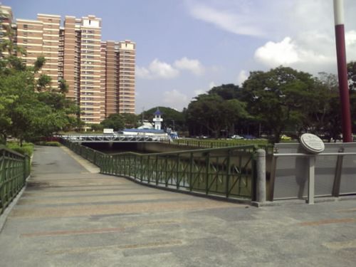 The "Chopstick" Bridge
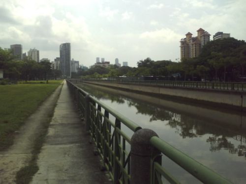 The side long straight
 Route going up towards Frasier Suites
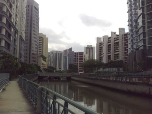 Rivervalley Road
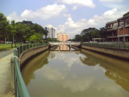 View of the Canal at Noon
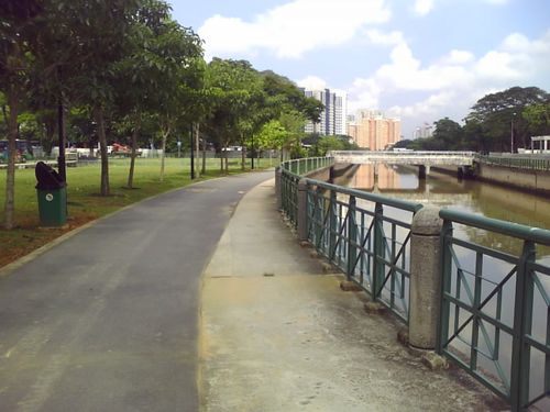 This side only have trees and benches
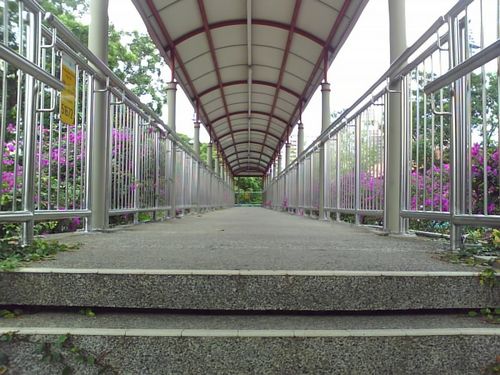 Delta Sports Complex Bridge Link
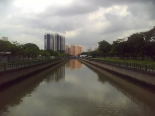 View from the Canal Bridge
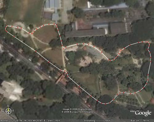 Tiong Bahru Park 0.73km Internal Perimeter Loop
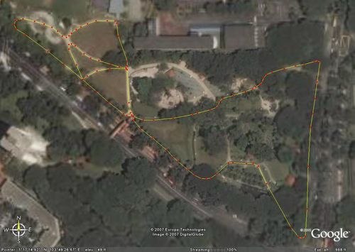 Tiong Bahru Park 1_05km Loop
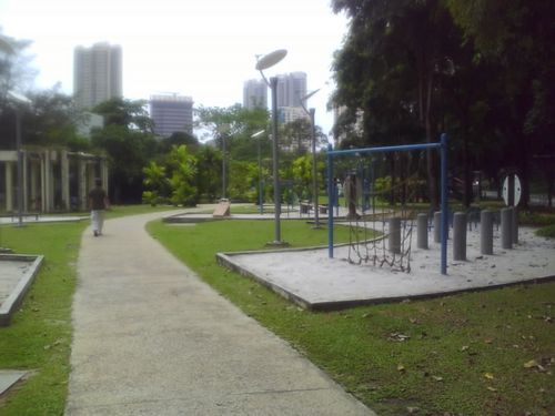 The Fitness Corner
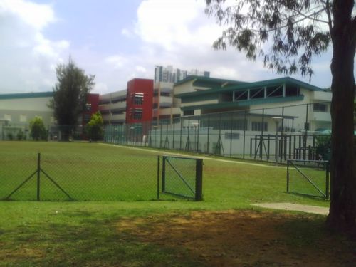 GESS school next door
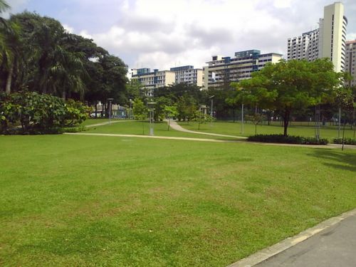 The open fields
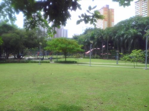 More fields, playground in background
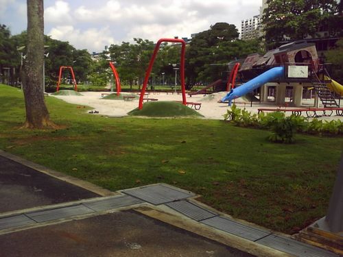 The children playground
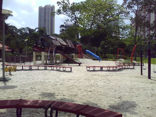 More of the playground area
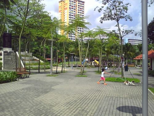 Pathed Community Area where gatherings and night taichi are normally held