
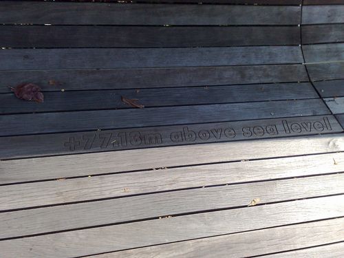
 this is the highest we can get - 77m!
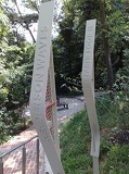 some bow looking thingies with words on them...
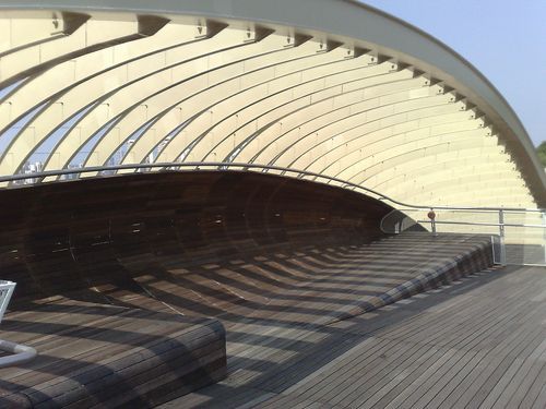 some of the few resting spots on the bridge, thou you can only enjoy the view at the handrails
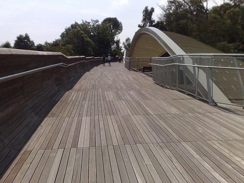 a view of the sinusoidal waveform which not only give the bridge it's curvy looks but pokes out at regular intervals above the w
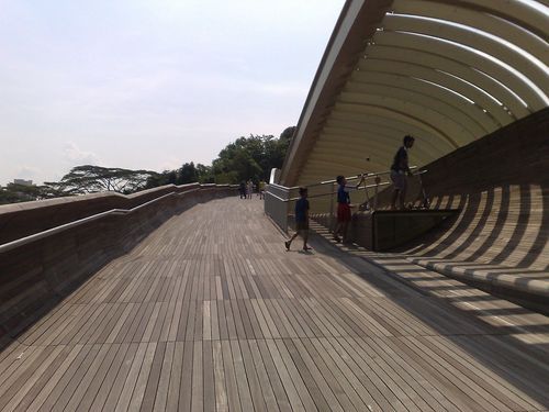 it have some small shaded resty areas, but blocks only the sun partially on this sunny day
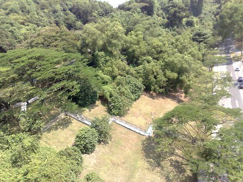 man it does look high up from here!
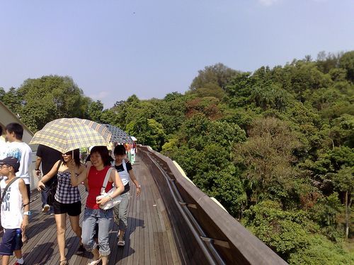 the bridge is open top, with no shelter at all
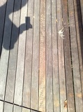 there are many cool height markers engraved on the bridge's floors, though 60m is nothing really great to brag about!
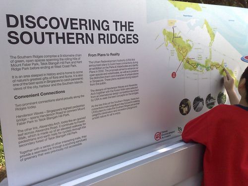 there are plenty of information maps at the attractions for those who want to know bit more on top of those who are topograhical
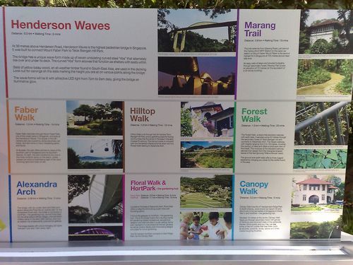 the henderson "sinusoidal" wave bridge is also Singapore's tallest "over head bridge" lol!
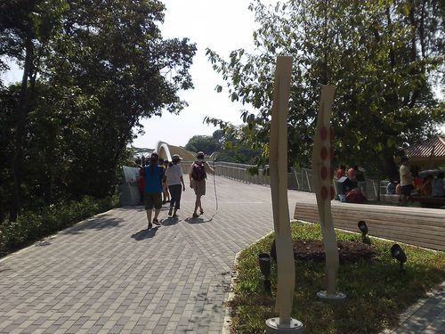 located at the peak of the faber hill...
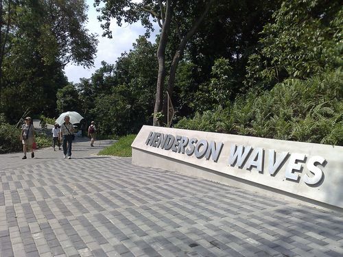 will bring us to one of the highlights of route!
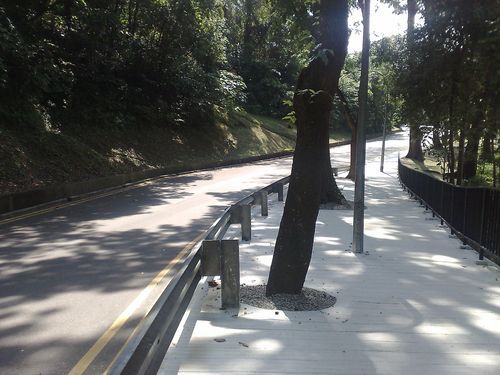 a short trek through few of the winding roads along Mt Faber
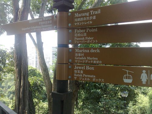 getting yourself orientated is not much a problem with many signs round the area
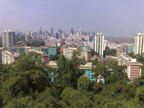 nothing new, but hey it's still a good view, yea?
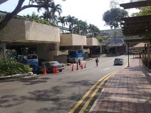 the faber walk we will see us through the "Jewel Box" aka the cable care station
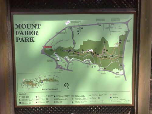 And here we are are Mt faber in mappy goodness!
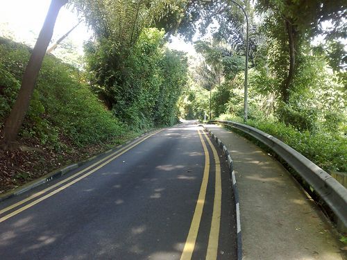 this route very much involves the old way up the hill, unless you take the Marang trail route
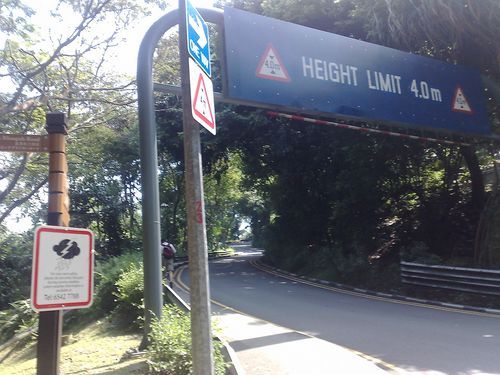 Alternative routes up Singapore's only mountain!
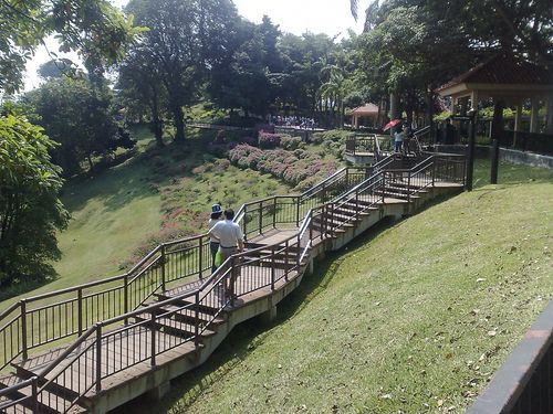 Marang Trail to Mt Faber from Harbour Front Area
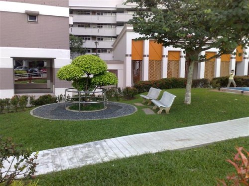 Few of the micro parks with therapeutic facilities along the route.
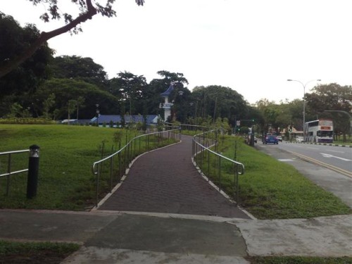 Here is the small ramp by cresecnt girls leading to the entrance of this length of the park connector.
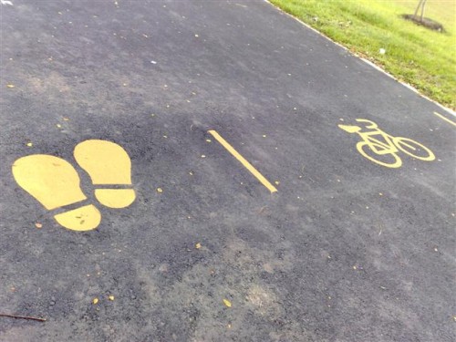 Multi purpose tracks for running, biking/skating
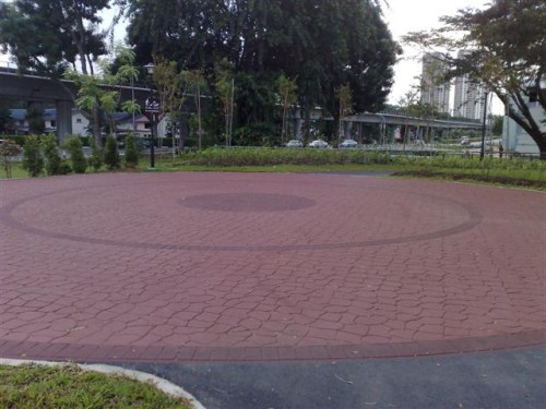 The 1.2km route from Tanglin road ends here near the old Queentown Cinema.
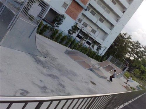 There is also a mini skate park near the queenstown end of the park
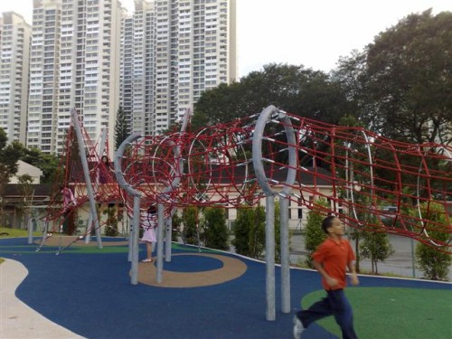 Another playground, this time a bungee jungle!
 The Emergencies Alert Beacon (EAB) functions similarly as a military CAT status indicator which warns of possible thunderstorms
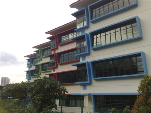 More funky architecture along the route
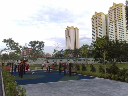 Another few of the playground and mini fitness centers
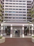 some how I kinda like how this picture turned out!
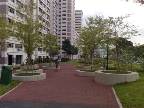 The park runs close to many of the residential HDBs in the area
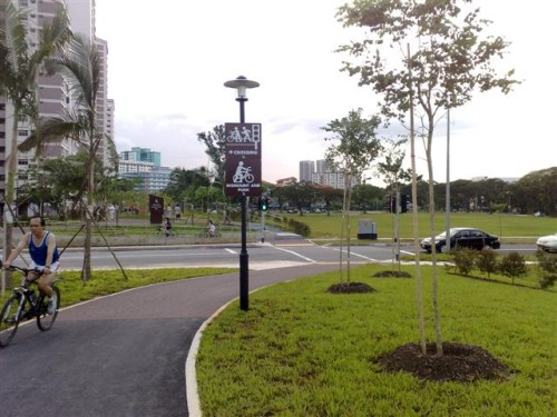 Here is the only small crossing along the queenstown running stretch
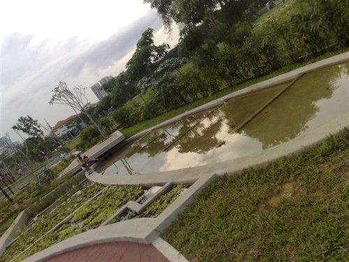 Some of nice man made ponds
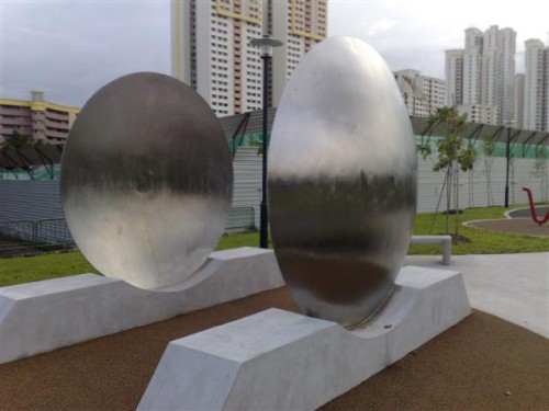 not to mention funky architecture!
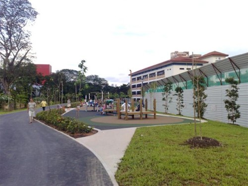 The park is also a family place, with lots of playgrounds littered along the route
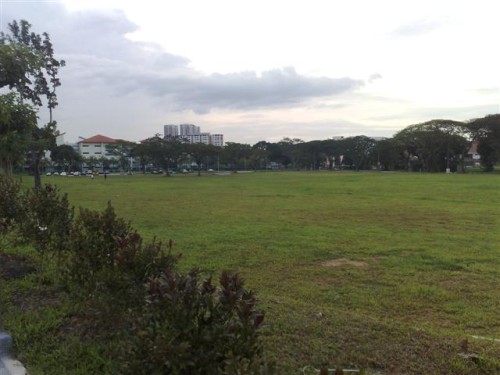 courtesy of the large untouched fields in the area
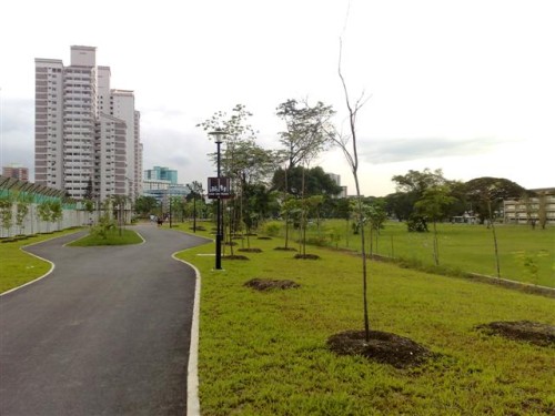 The place can be rather breezy at times
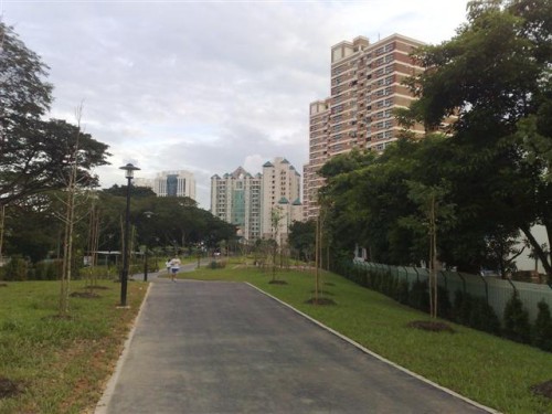 All we know is parks built on old canals offer nice long and flat straights!
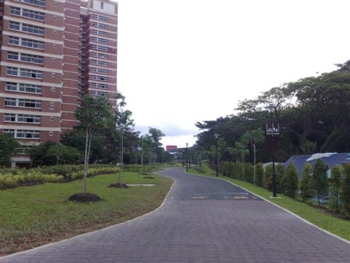 The old canal used to run through this area, will it's all covered by the park now.
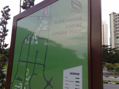 Here is the map showing the full length of the route, from river valley to queenstown.
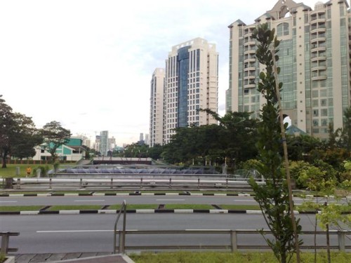 Though it's not quite connected to the rest of the park!
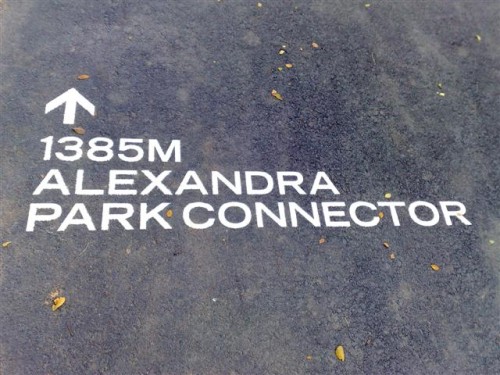 Here we are at the Alexandra Queenstown Park Connector!