
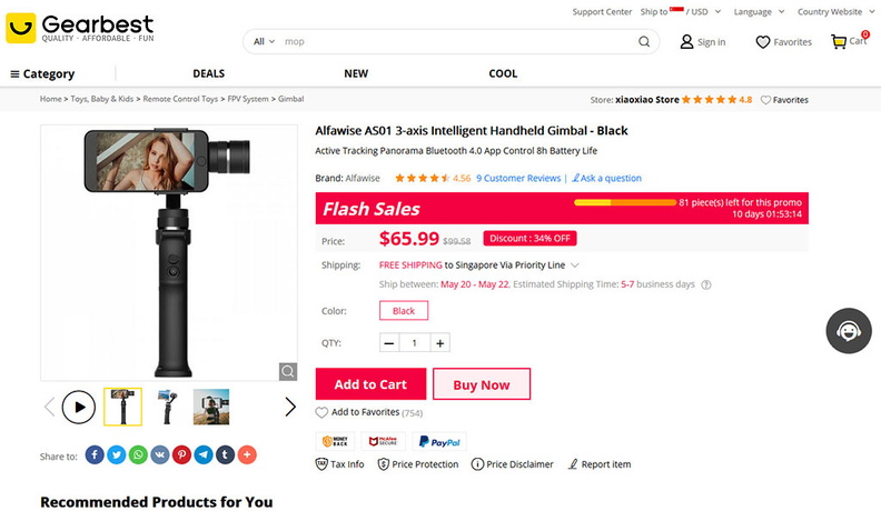
 alfawise-gearbest-price
 alfawise-phone-gimbal-001
 alfawise-phone-gimbal-002
 alfawise-phone-gimbal-003
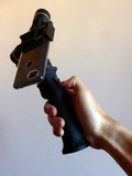 alfawise-phone-gimbal-004
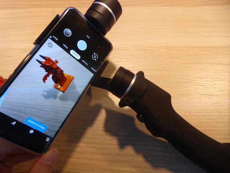 alfawise-phone-gimbal-006
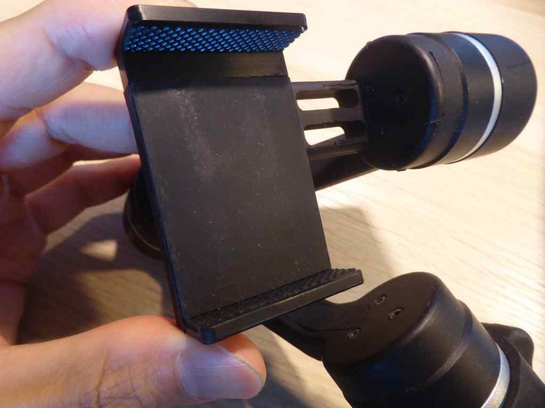 alfawise-phone-gimbal-007
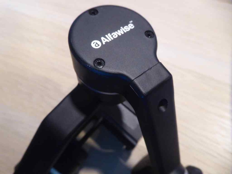 alfawise-phone-gimbal-008
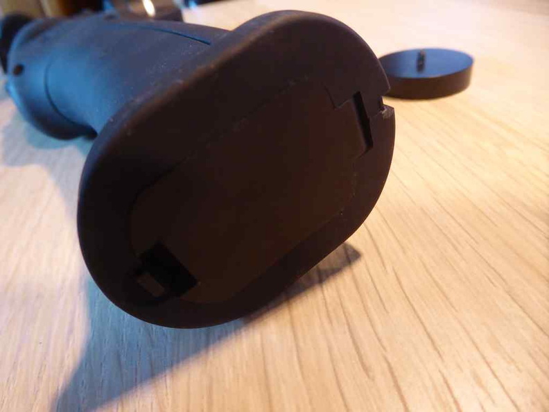 alfawise-phone-gimbal-009
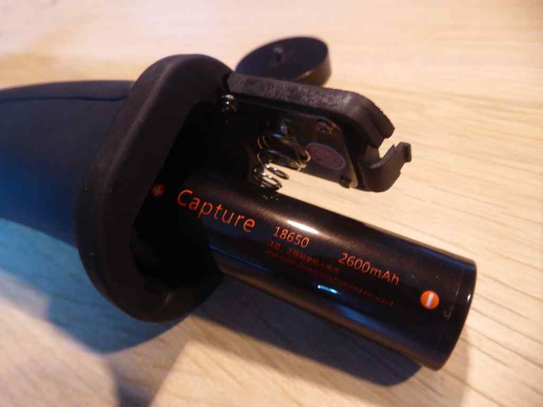 alfawise-phone-gimbal-010
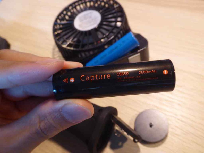 alfawise-phone-gimbal-011
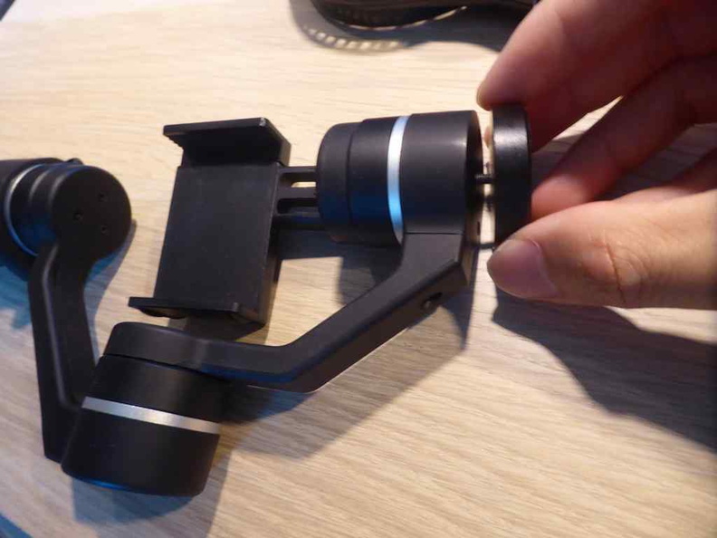 alfawise-phone-gimbal-012
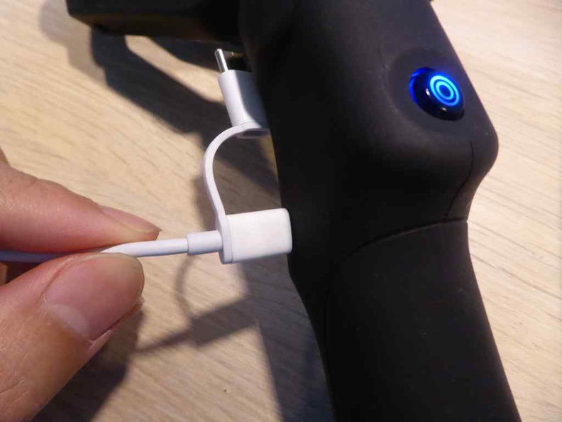 alfawise-phone-gimbal-013
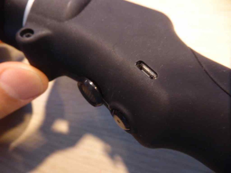 alfawise-phone-gimbal-014
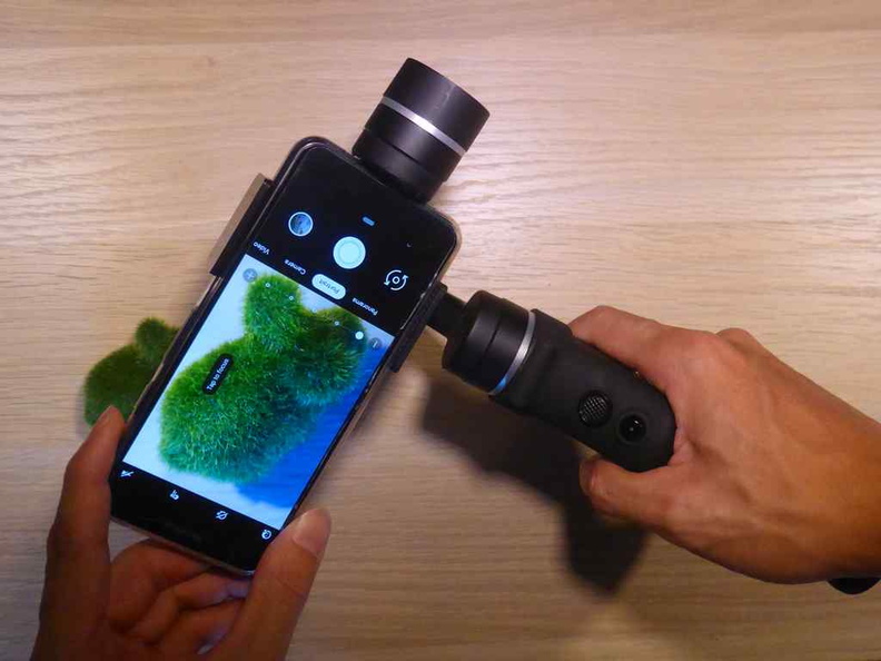 alfawise-phone-gimbal-015
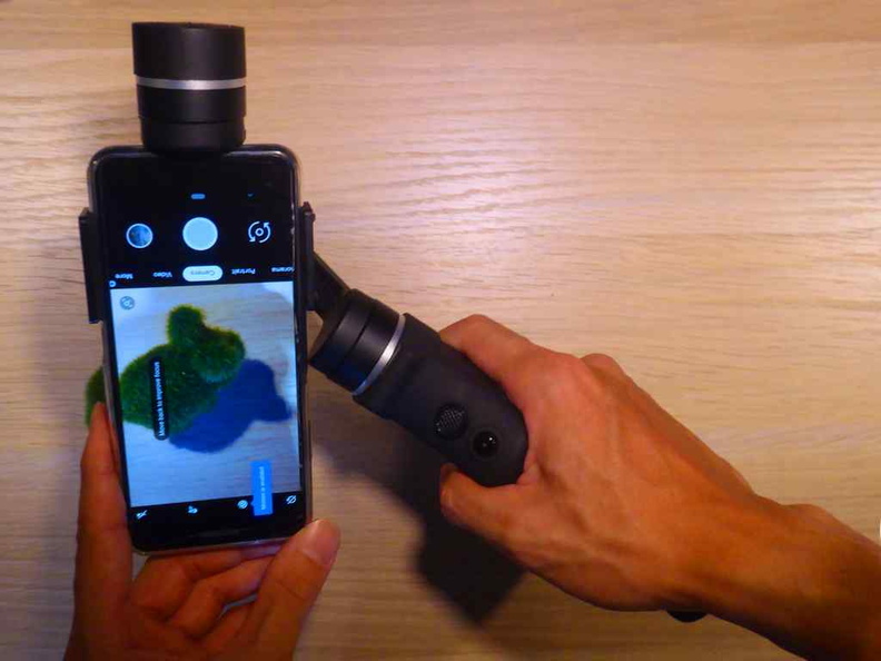 alfawise-phone-gimbal-016
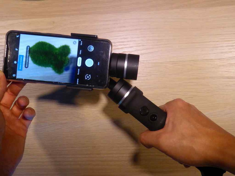 alfawise-phone-gimbal-017
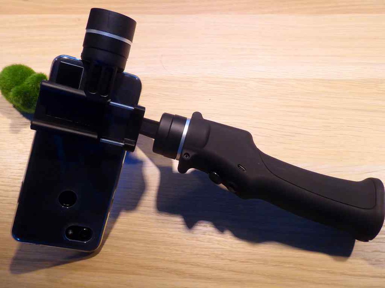 alfawise-phone-gimbal-018
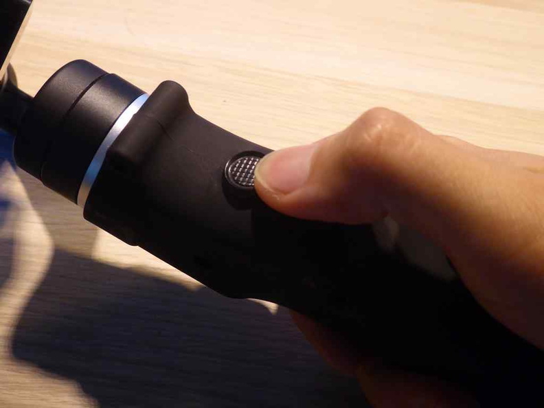 alfawise-phone-gimbal-019
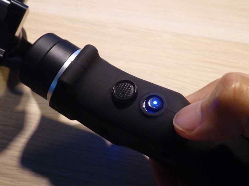 alfawise-phone-gimbal-020
 alfawise-phone-gimbal-021
 alfawise-phone-gimbal-022
 alfawise-phone-gimbal-023
 alfawise-phone-gimbal-024
 alfawise-phone-gimbal-025
 alfawise-phone-gimbal-026
 alfawise-phone-gimbal-027
 alfawise-phone-gimbal-028
 alfawise-phone-gimbal-029
 alfawise-phone-gimbal-030
 alfawise-phone-gimbal-031
 alfawise-phone-gimbal-032
 alfawise-phone-gimbal-033
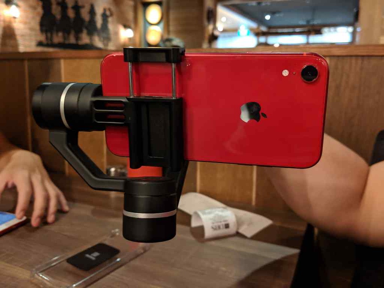 alfawise-phone-gimbal-034
 amazon-prime-now-appstore
 amazon-prime-now-basic
 amazon-prime-now-cameras
 amazon-prime-now-categories
 amazon-prime-now-electronics
 amazon-prime-now-main
 amazon-prime-now-meats
 amazon-prime-now-menu
 amazon-prime-now-menus
 amazon-prime-now-singapore-food
 amazon-prime-now-spalsh
 amazon-prime-now-terms
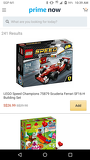 amazon-prime-now-toys
 amazon-prime-now-vegetables
 amazon-prime-now-welcome
 And for cleaner shoes as well