
 nathan-sawaya-art-of-the-brick-sg-11
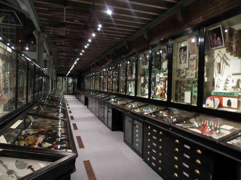 oxford-natural-history-museum-08
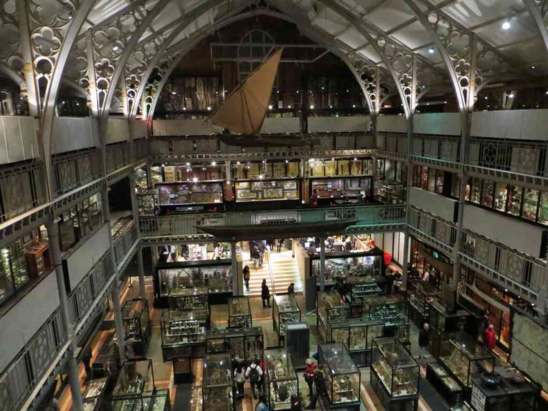 oxford-natural-history-museum-07
 oxford-ashmolean-museum-07
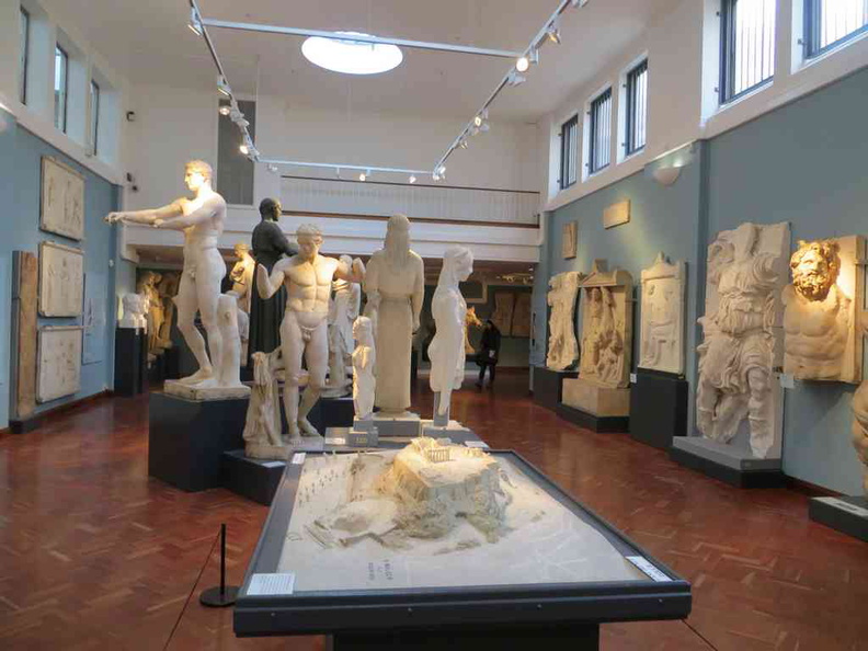 oxford-ashmolean-museum-05
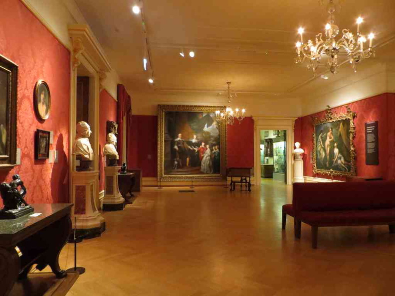 oxford-ashmolean-museum-06
 oxford-natural-history-museum-06
 oxford-ashmolean-museum-02
 oxford-ashmolean-museum-03
 oxford-ashmolean-museum-04
 oxford-natural-history-museum-05
 oxford-ashmolean-museum-01
 oxford-natural-history-museum-02
 oxford-natural-history-museum-03
 oxford-natural-history-museum-04
 oxford-natural-history-museum-01
 oxford-science-museum-06
 oxford-science-museum-05
 oxford-science-museum-04
 oxford-science-museum-02
 oxford-science-museum-03
 oxford-science-museum-01
 oxford-city-uk-31
 oxford-city-uk-32
 oxford-city-uk-28
 oxford-city-uk-29
 oxford-city-uk-30
 oxford-city-uk-26
 oxford-city-uk-27
 oxford-city-uk-24
 oxford-city-uk-25
 oxford-city-uk-21
 oxford-city-uk-22
 oxford-city-uk-23
 oxford-city-uk-19
 oxford-city-uk-20
 oxford-city-uk-16
 oxford-city-uk-17
 oxford-city-uk-14
 oxford-city-uk-15
 oxford-city-uk-11
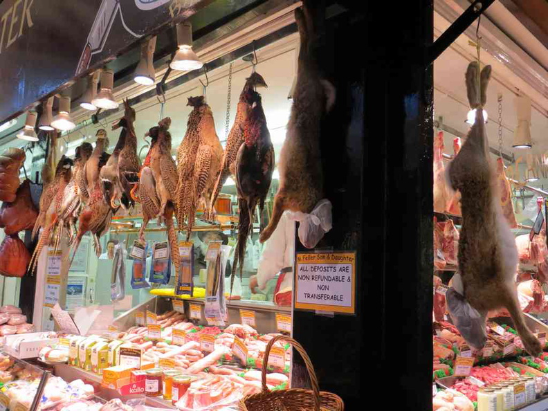 oxford-city-uk-12
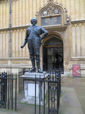 oxford-city-uk-08
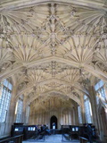 oxford-city-uk-09
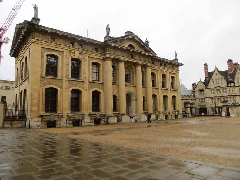 oxford-city-uk-10
 oxford-city-uk-06
 oxford-city-uk-07
 oxford-city-uk-03
 oxford-city-uk-04
 oxford-city-uk-05