Home / Search results 82

 yup, that's the street alrite!
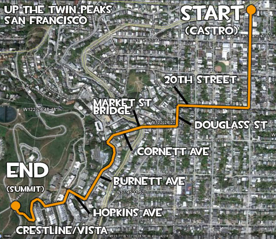 castro_map
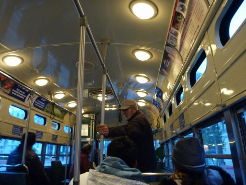 which is both active public transportation
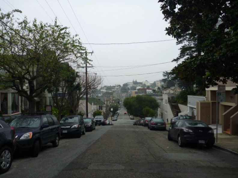 require some neighbourhood navigating
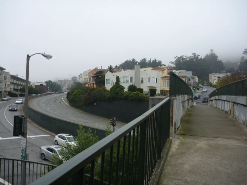 you will hit a school at the end
 Off from town
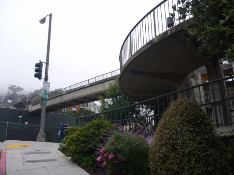 then you will come to this bridge at the end of the street
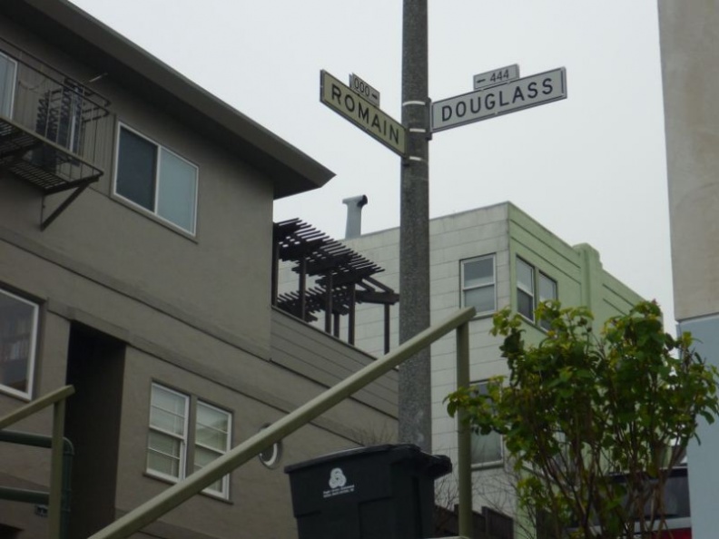
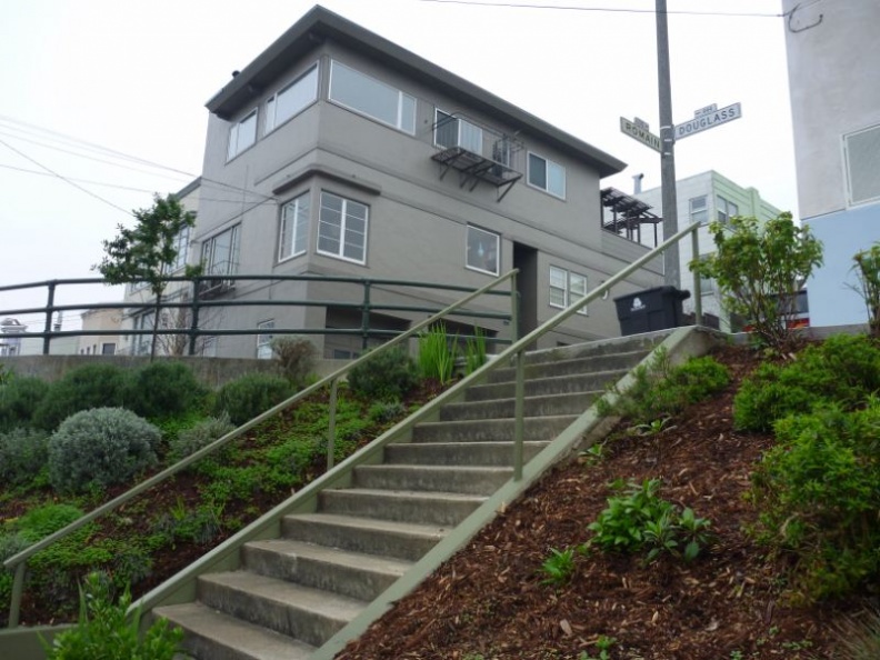 The juntion between Romain street & Douglass street
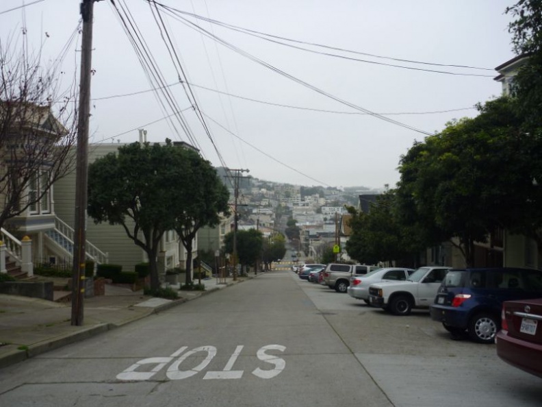 the way up to the twin peaks...
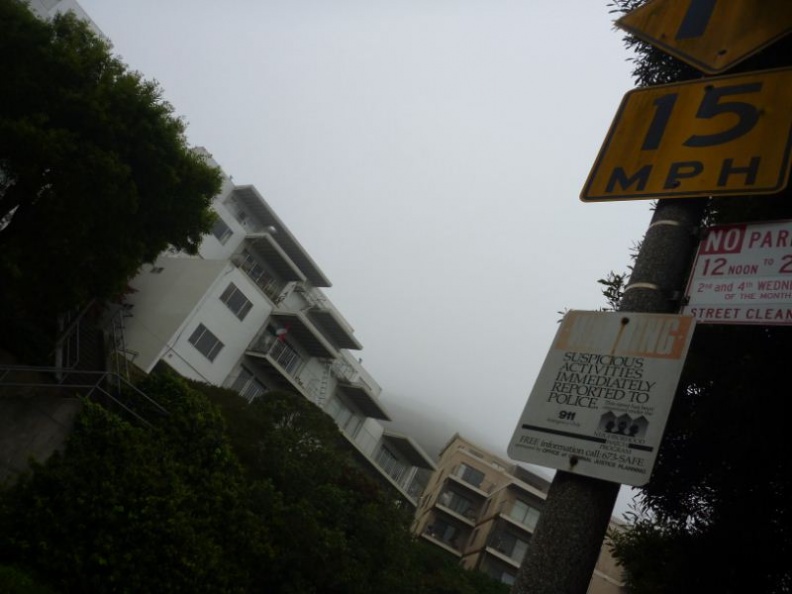 alternative to climbing is taking bus 37 up here from castro
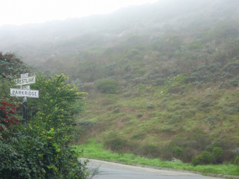 Crestline is the highest street here
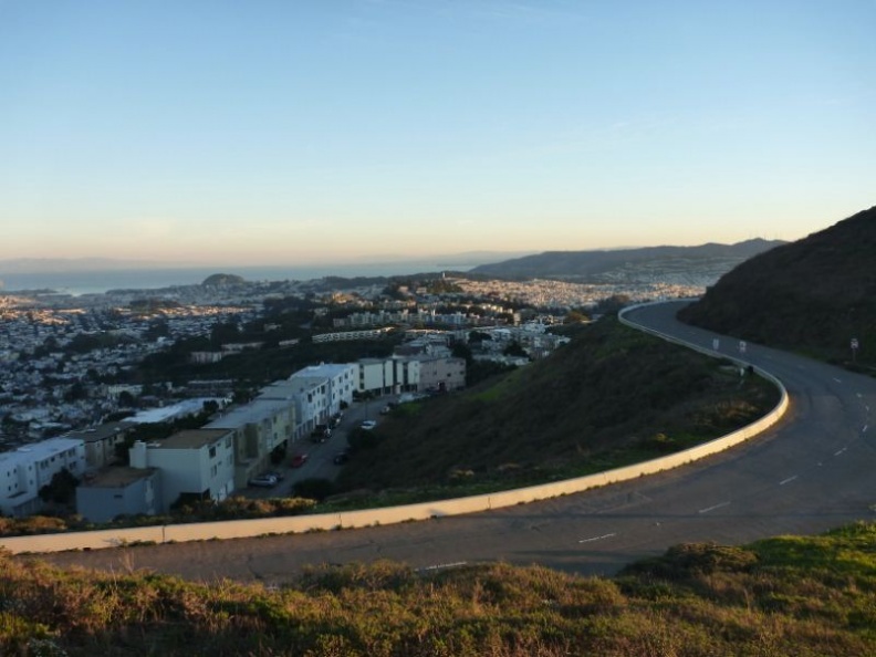 Crestline street and the short climb up to the figure of 8 road
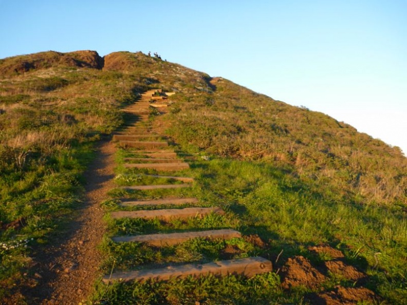 more steps, this time more grassy!
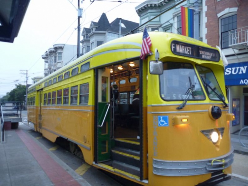 and a national history icon too!
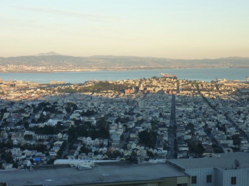 the sun is setting behind us
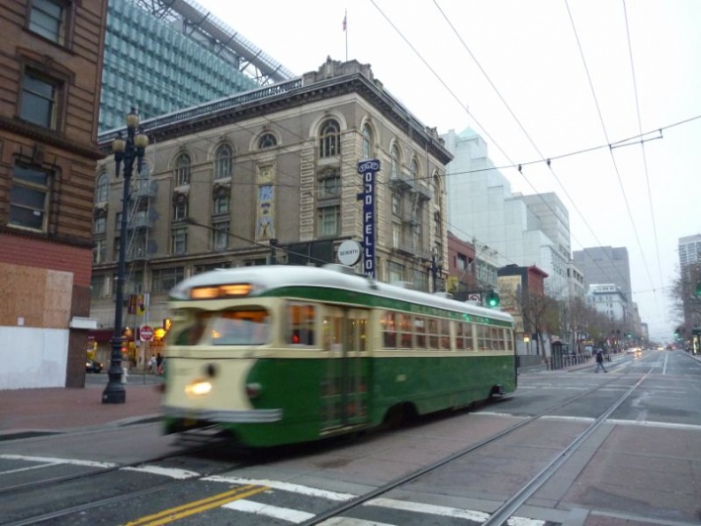 On the historical trolley line
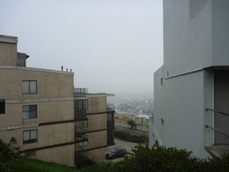 which I will advise for the trip down
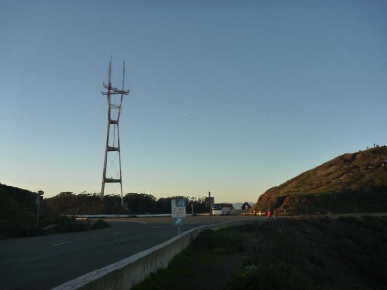 the figure of 8 road serving the twin peaks
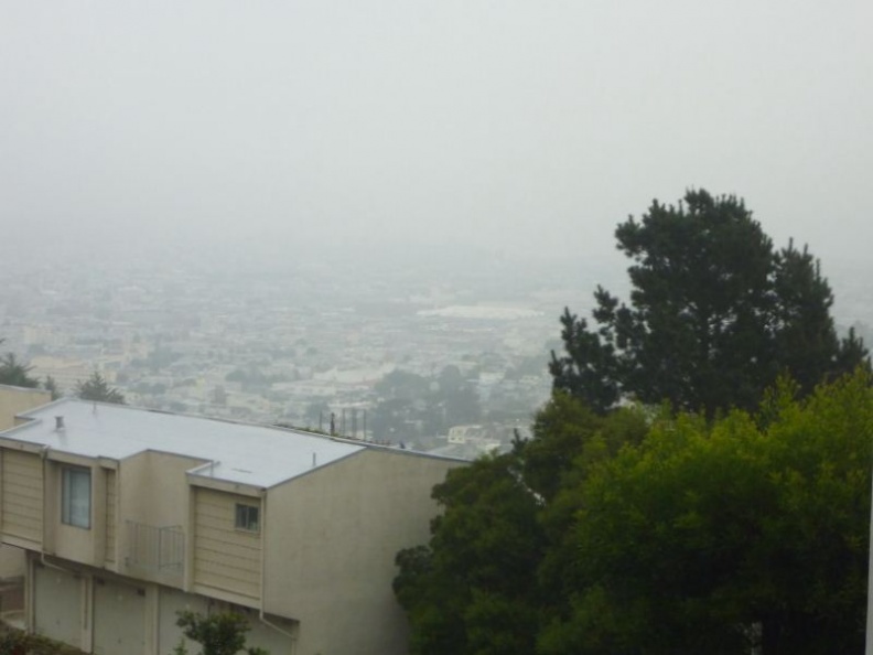 looking good from up here!
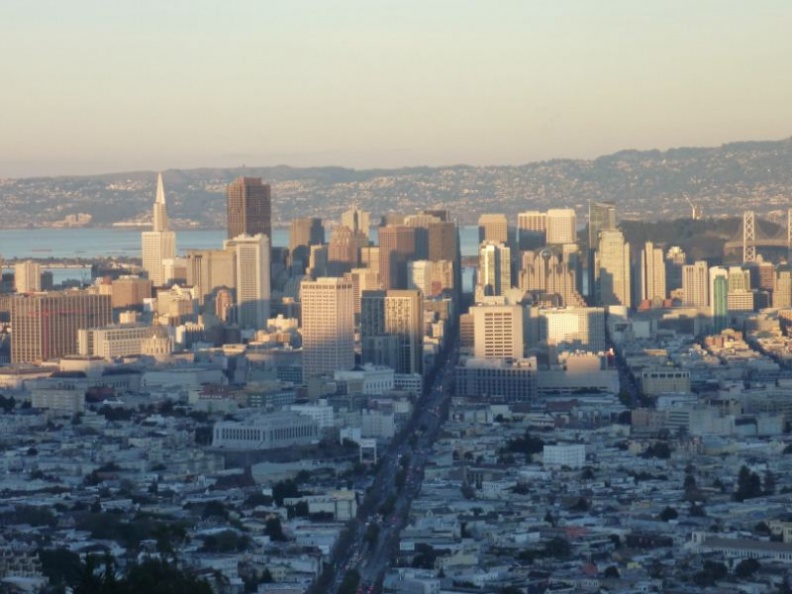 the business district and transamerica pyramid
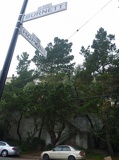 climb the steps at end of hopkins
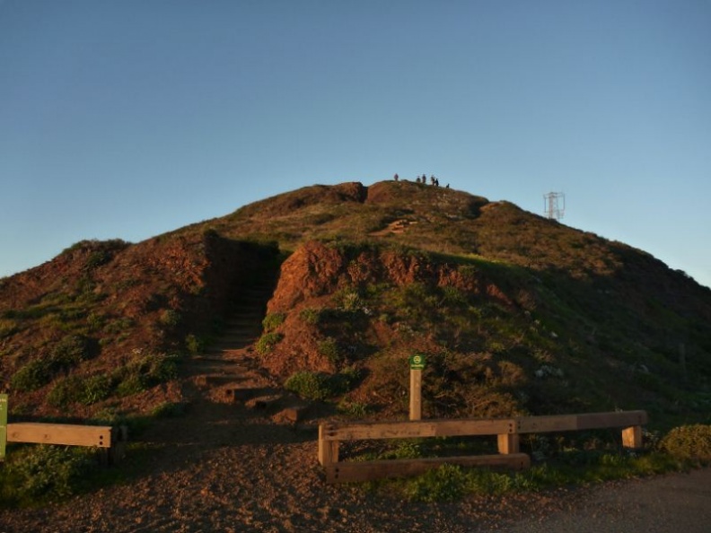 heres the south peak
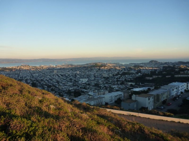 The fast setting sun
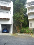 followed by this flight of steps
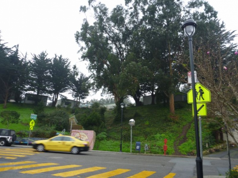 The Rooftop Elementary School
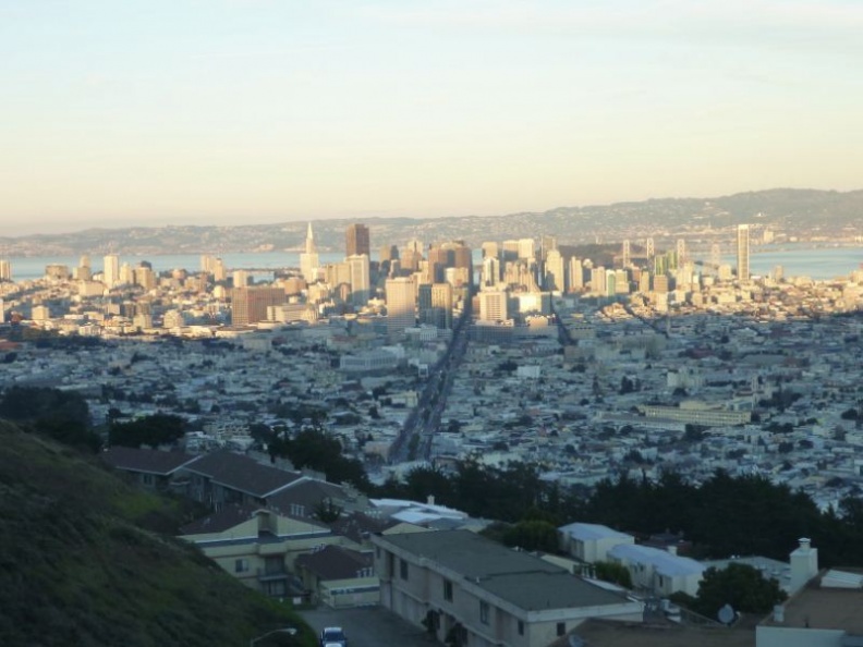 The city of San Francisco!
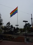 and land of the rainbow flag!
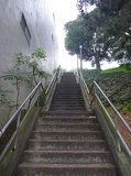 it's quite a flight
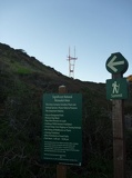 Sutro Tower in the distance
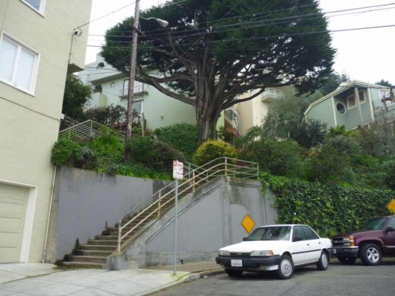 Up the stairs!
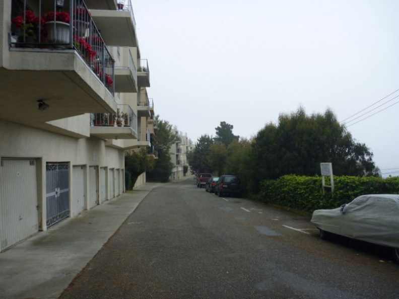 through a residential carpark
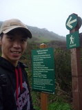 Here's the entrance to the summit!
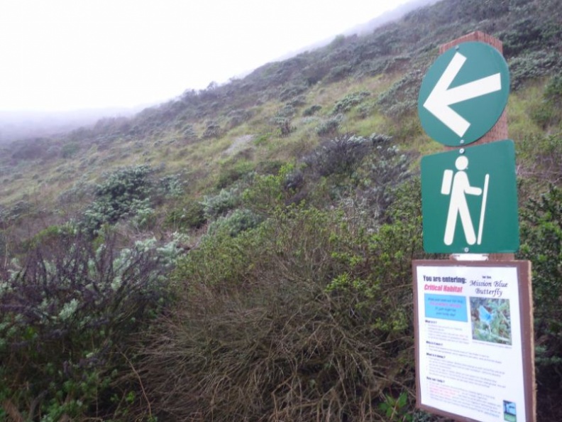 just follow the signs
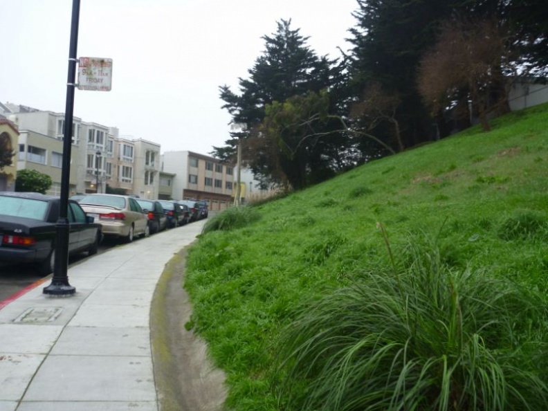 go along Burnett Avenue
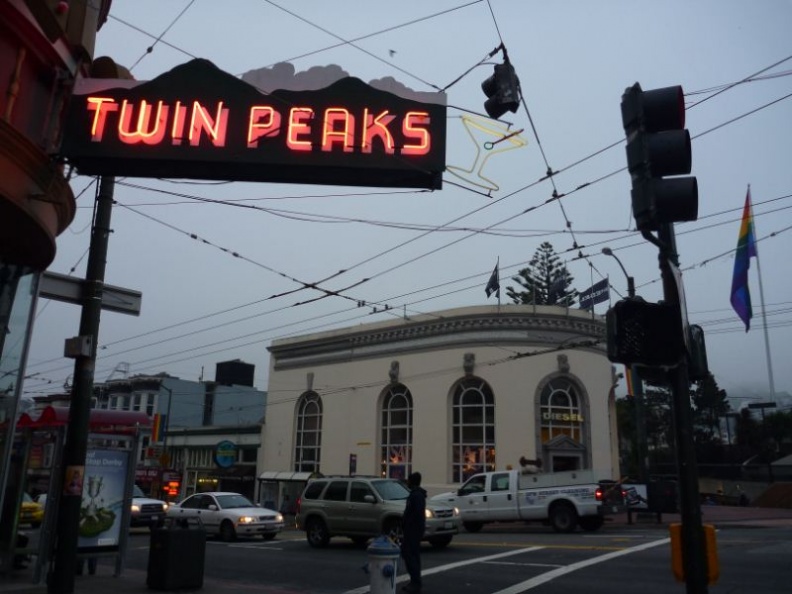 gateway to the twin peaks
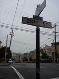 the fastest is from castro, head up to 20 street
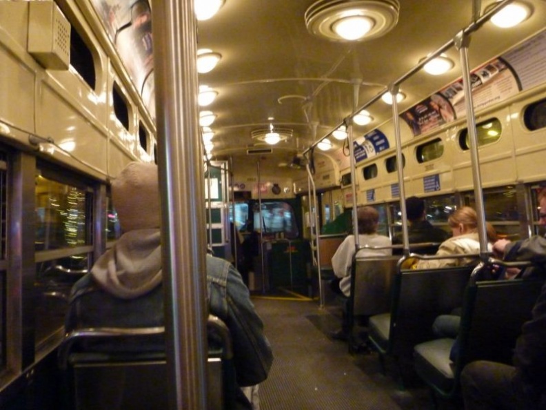 that's all folks for now!
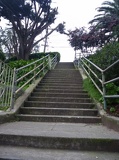 and more stairs!
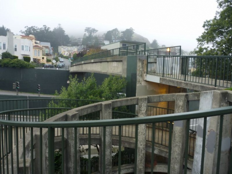 cross it and head straight
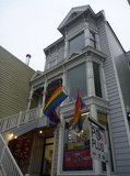 loads of them everywhere!
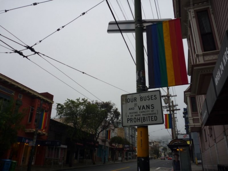 decked out in pride!
 ditto!
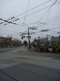 look at that mass of overhead wires!
 look, man love! :3
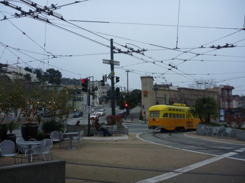 Here we are at Castro!
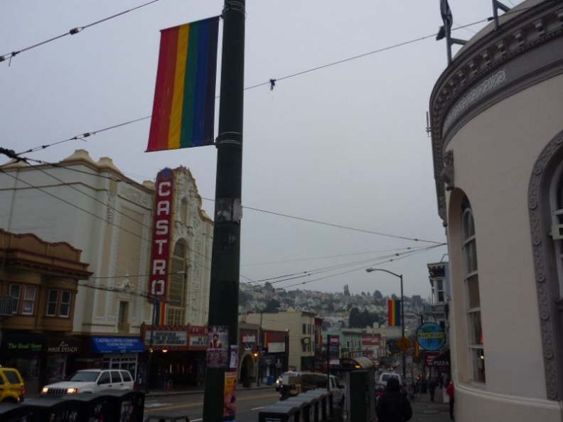 it's the gay district of the city
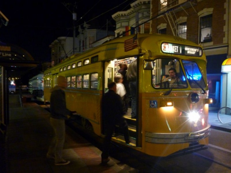 towards the city for the night
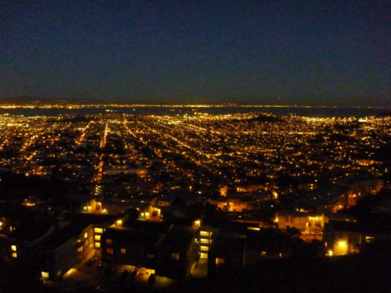 a golden sight indeed
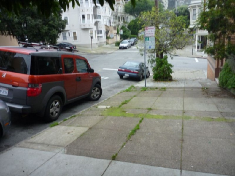 remember to turn your wheels into the kerb!
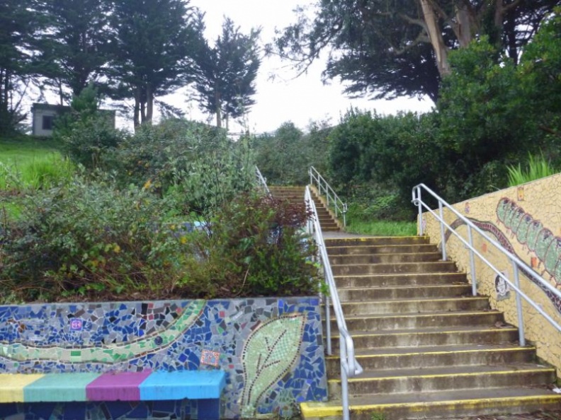 don't take this steps as it leads into the school